OpalAi
OpalAi: Streamlining Floor Plans and 3D Visuals for Real Estate and Construction
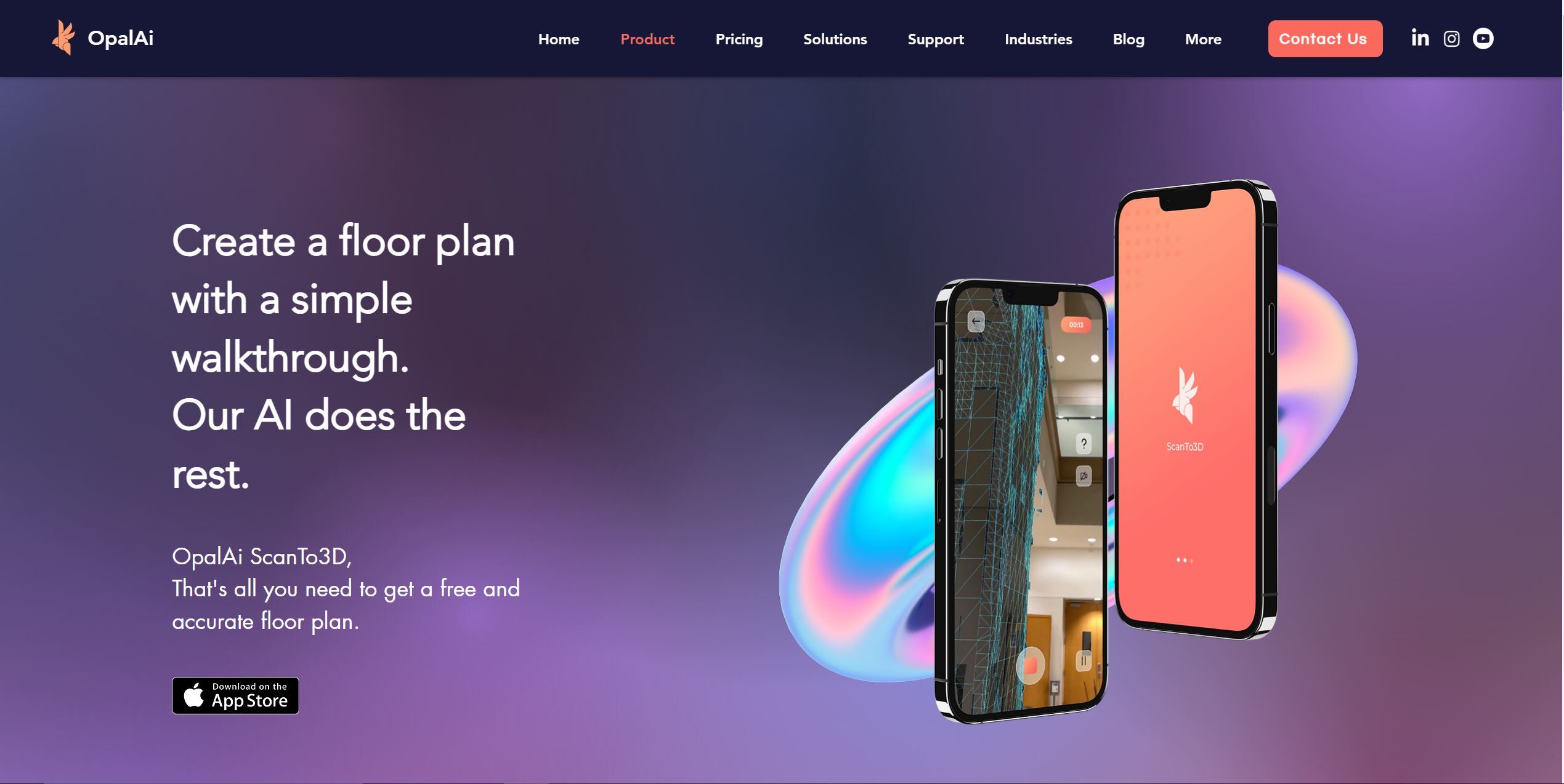
OpalAi is a powerful tool that simplifies the process of capturing and visualizing spatial data for real estate and construction purposes. With its AI-enabled algorithm and user-friendly app, OpalAi enables users to scan large environments using LiDAR cameras and quickly create accurate 2D floor plans, BIM models, and 3D visualizations.
OpalAi Features
- 📷 LiDAR Scanning: OpalAi utilizes LiDAR cameras to scan large environments and capture accurate data for creating floor plans and 3D visualizations.
- 🖥️ User-Friendly Interface: The app offers a simple and intuitive interface, allowing users to easily navigate through the scanning and editing process.
- 🎨 Texture and Color Customization: Users can add textures and colors directly within the app, enhancing the visual representation of the scanned environment.
- ✏️ On-Device Editing and Measuring: OpalAi enables users to edit and measure the scanned data directly on their device, providing real-time feedback and adjustments.
- 📤 Multiple Sharing Formats: Users can easily share the created floor plans and visualizations in various formats to meet their specific needs.
- 🤖 AI-Enabled Accuracy: OpalAi incorporates AI algorithms to ensure high accuracy, with minimal margin of error in measurements.
Use Cases
- 🏢 Real estate professionals: Accurate floor plans and 3D visualizations are essential for property listings and marketing purposes.
- 🏗️ Construction companies: OpalAi provides efficient and accurate scanning solutions for project planning and documentation.
- 🏠 Remodeling and interior design professionals: Precise measurements and visual representations of existing spaces are crucial for remodeling and interior design projects.
- 🏛️ Architects and engineers: OpalAi is ideal for creating accurate 2D floor plans and BIM models for design and construction projects.
Conclusion
OpalAi revolutionizes the process of capturing and visualizing spatial data for real estate and construction purposes. With its powerful features, including LiDAR scanning, user-friendly interface, texture and color customization, on-device editing and measuring, multiple sharing formats, and AI-enabled accuracy, OpalAi offers a comprehensive solution for creating accurate floor plans and 3D visualizations. Whether you’re a real estate professional, construction company, remodeling expert, or architect/engineer, OpalAi simplifies the workflow and enhances the accuracy of your projects.
#OpalAI #aritificialintelligence
OpalAi simplifies spatial data capture and visualization with its powerful AI-enabled algorithm and user-friendly app. Scan large environments, create accurate floor plans, BIM models, and 3D visualizations effortlessly.https://t.co/ZvmYRUe5ub pic.twitter.com/G5BI6BfyYY— AI Repo Hub (@AiRepoHub) August 26, 2023
FAQ
Q: How does OpalAi ensure accuracy in measurements?
A: OpalAi incorporates AI algorithms to ensure high accuracy, minimizing the margin of error in measurements.
Q: Can I customize the textures and colors of the scanned environment?
A: Yes, OpalAi allows users to add textures and colors directly within the app, enhancing the visual representation of the scanned environment.
Q: What formats can I share the created floor plans and visualizations in?
A: OpalAi supports multiple sharing formats, allowing users to easily share their creations in various formats to meet their specific needs.
See more 3D AI tools: https://airepohub.com/category/3d-animation

